

Maps
In addition to the maps on the Surrounding Counties page, I've added a couple more to help visualize where families lived. Keep in mind that El Paso County countains some of the highest peaks in Texas as well as some of the lowest gorges and dryest deserts; a "short trip" (by map) isn't always as close as it seems.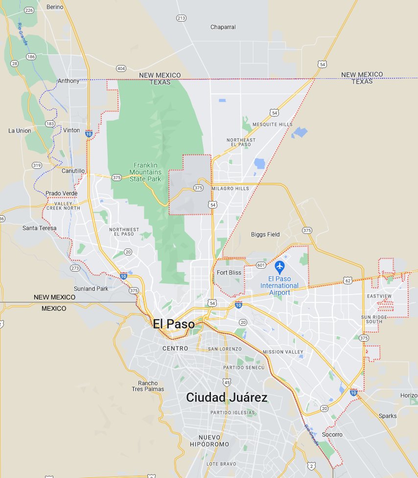
This map shows El Paso city. The dotted red line is the city border. The solid gray line in the south is the border between Mexico and the USA. The dotted blue line in the west and north is the state line between Texas and New Mexico. The two blocky gray areas in town belong to the US military where you can find people from all over the world. This map shows why the people of El Paso city live and play in multiple countries, counties and states.
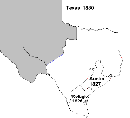
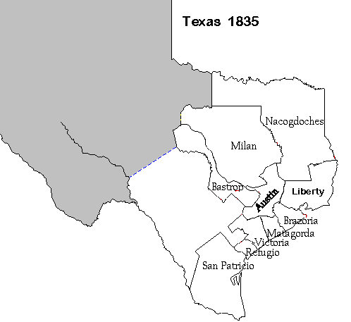
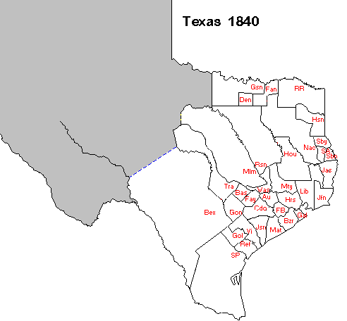
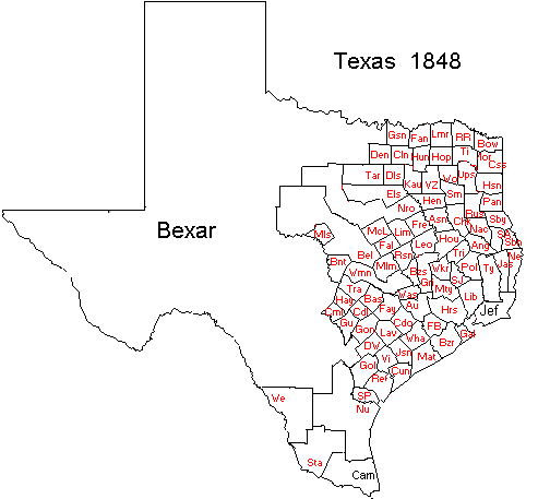
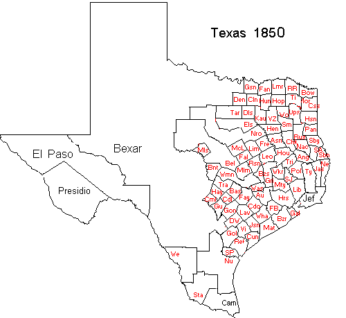
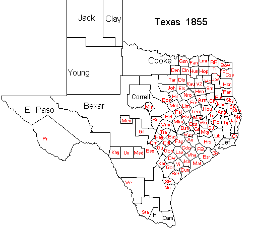
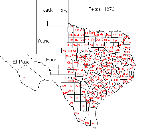
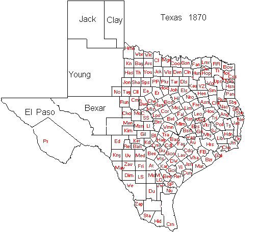
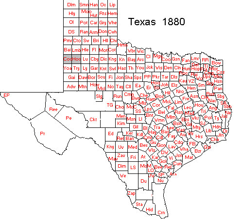
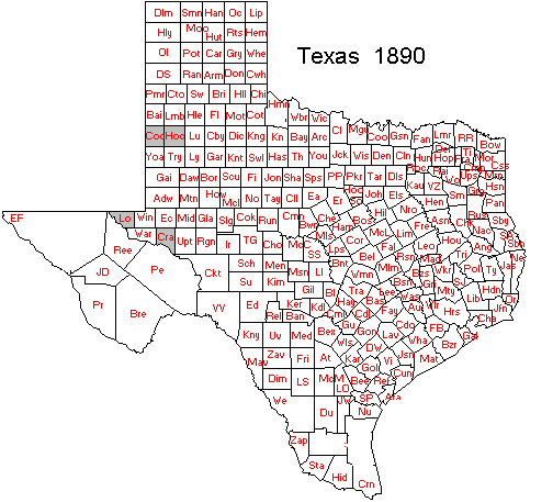
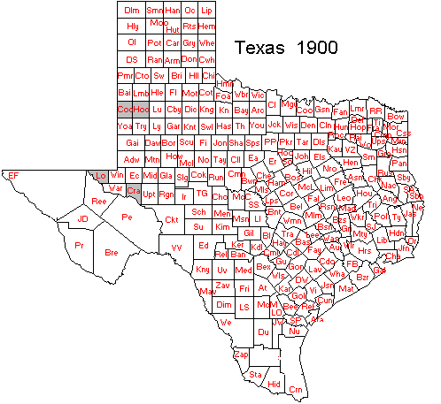
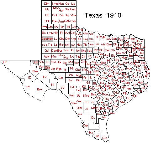
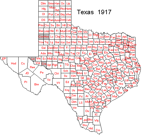
These maps show the county formations in Texas. El Paso starts on the 1850 map.