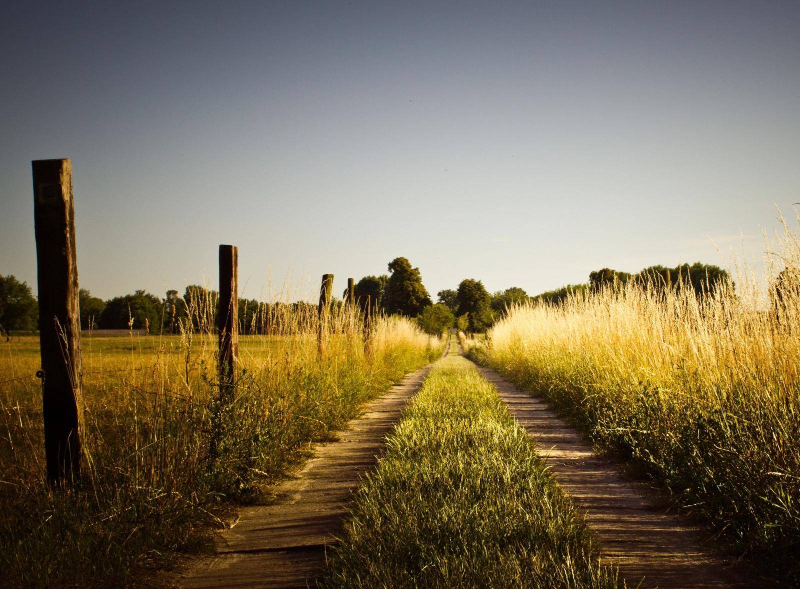
How many times have we driven passed the old rock along side the road
near Kellogg and wondered what it represented? I have seen pictures
of Celeste graduates and residents (of years past) who did stop and have
their picture taken there. I can remember Mother stopping their once...did
she stop and read to us the story or did stop to give us correction or
did she stop of fix a flat? I cannot remember. I must take
my camera with me the next time I go to Greenville, stop, and read the
inscription. I have repeatedly passed over my past.
MARKER ON OLD TRAIL
Last Sunday, the marker placed on the Old National
Highway of the Republic of Texas by the Daughters of the American Revolution
at point near Kellogg, was unveiled and the ceremonies of a character to
commemorate the spirit of the fathers who laid the foundation for civilization
in this great country of ours.
The perpetuation of the memory of this old highway
is just an incident in the perpetuation of the memory of the hardy pioneers
who laid out this path and traveled it as a highway in the days when the
country was new and sparsely settled.
Rev. Hearon delivered the invocation. Rev.
Engle led the singing of "America" and the audience joined in saluting
the flag, led by Mrs. Dr. Will Cantrell.
Little E. B. Stroud, Jr., grandson of Mrs. C. B.
Jones, State Regent of the DAR pulled the red, white, and blue ribbons,
unveiling the monument which was draped with an American Flag.
Judge L. L. Bowman delivered the principal address,
giving a clear history of the National Road of the Republic of Texas and
pointed to the place where the Cowl Leach Indians made their last stand,
near the head of the city canal, recent cut in the water works program.
Across the Sabine tot he northeast was the habitat
of "Black Cat," another Indian chief and from whom "Black Cat" thicket
got her title, covering that section of country east of White Rock while
the Cowl Leach chief was located on the knoll about where the water works
stand pipe is now located. The following interesting history was
give by Judge Bowman:
In 1842, Lindley Johnson, grandfather of Lindley
Johnson, Roy Johnson, and Joe Johnson, surveyed his league and lanore of
land granted him by the Republic of Texas for military...on the Indians
that the land was his and that the time had come for them to move.
This incident was related about twenty-five years ago, according to Mrs.
H. G. Campbell, by a son of Lindley Johnson.
The Central National road was authorized and directed
to be surveyed by an Act of the 7th Congress of the Republic of Texas in
1844, during the Presidency of Sam Houston.
The Act named the Commissioners to lay out and view
the road and they were Jason Wilson and William M. Williams of Lamar County,
John Teary of Fannin County, Rowland M. Box of Harrison County, and James
Bradshaw of Nacogdoches.
This territory was at that time a part of Fannin
County, which stretched out toward the Pacific Ocean and had no marked
western boundary. Jason Wilson afterwards located his survey of land
in Hunt County. William M. Williams was later the floating senator
from Fannin and Lamar and to him, we of Greenville owe a lasting debt of
gratitude; when the bill to create Hunt County had been introduced in the
Senate of the new State of Texas, it provided that the county should be
named Hunt in honor of General Memucan Hunt, familiarly called "Cousin
Milke," and that the county seat should be called Pinckneyville in honor
of our first governor J. Pickney Henderson, and General Hunt's comrade
in arms during the Texas Revolution. This same legislature had created
one county of Henderson, and Senator Williams evidently thought that sufficient
honor to one man and moved to substitute Greenville for Pinckneyville,
thus honoring General Thomas J. Green, another hero of the Revolution !
of Texas.
These Commissioners were authorized to view and
lay out the road with the assistance of the surveyors and "undertakers,"
whom we would call contractors. The surveyors were George W. Stell,
William H. Wynne, and Johnathan Thompson.
This William H. Wynne probably was a descendant
of that Thomas Wynne whose revolutionary military service is honored in
the name of the local chapter, and George W. Stell was related to our former
District Attorney Aubrey Stell of Cooper.
The chain carriers assisted in this were were William
C. Good, Alexander A. Love, George W. Barnhart, and William Downing.
The Act provided that the road should being at a
point on the east bank of the Trinity within fifteen miles below the mouth
of the Elm Fork of the Trinity River, and running thence northeasterly
tot he south bank of the Red River opposite the mouth of the Kiamichi River.
The survey began at a point five miles south of the mouth of Elm Fork and
while the map furnished me show s Dallas there, I am of the opinion that
there was no such place as Dallas at that time. The survey was begun
on April 26th, 1844 and completed May 26th, 1844, or in thirty days.
The total length of the road was 129 miles and 832 varas.
At that time, little was known of the country, and
the surveyors knew no names for the streams except the larger ones such
as White Rock, the East Fork of the Trinity (also called Bois d' Arc),
Sabine, and the Sulphurs, and until they neared Paris, then a more thickly
settled part of the country where, all the little creeks are designated
by name.
The Central Road crossed this Jefferson Highway
approximately at this spot, or between this marker and the bridge across
Sabine just north of us, and crossed Sabine River at what was long known
as the Rocky Ford Crossing, just over the field northeast of us.
When the Daughters of the American Revolution called
on me some two years ago to help them locate the old road of which I had
never heard I had a great deal of hunting to do before I could get any
trace of it. The abstractors knew nothing of this old road, and I
was getting a large doubt about it, until I mentioned the subject to Mr. Otho McCombs whose father was one of the pioneers...able in these trios.
This was one fault unknown among the early settlers of this country.
It was Mr. Otho McCombs who thus located for Thomas Wynne Chapter the historic
old trail which was established in the days of the Republic. With
the start given by Mr. McCombs, I was able later to trace the road definitely
through the county. Joe Green gave me its location near White Rock
by Webb Hill and across Sulphur, Ben Briscoe, father of our County Clerk,
gave me the definite location near Floyd and to the Collin County line.
John A. Webb told me that in an early day, he and his father trav! eled
the old road from where Dallas now stands to Millwood in the southeast
corner of Collin County. Mrs. Kate Brooks, whose maiden names was
Kate Roberts, related to me her experience in traveling this road from
near Paris to the home of her brother-in-law, Doss Holder, who lived just
west of here, about where the county farm is now located. She knows
the exact spot of its crossing the North Sulphur.
The National Road crossed South Sulphur Creek south
of Wolfe City and about the old road crossing lately abandoned when the
Wolfe City Pike was built, and at the mouth of Short's Creek.
Mose Warren, a native of Hunt County, who lives
at Wolfe City, related to me the story of the downing of young Rambo, a
Confederate soldier, at this crossing. He was returning to his home
after The Surrender. He came to the crossing within a few miles of
home. There had just been a quick heavy rain, and Short Creek was
up. He rode into Sulphur at this crossing at the mouth of Short Creek
and was caught in the swift current and was drowned.
Ben Briscoe's father, a Baptist preacher, settled
at old Rehobeth on the north line of this county in 1845. He later
bought land and moved to the Shut In Prairie, west of where Clinton is
now located. Ben Briscoe remembers well traveling this road from
old Rehobeth to the Shut-In Prairie. On one trip, Tom and Jerry,
the ox team, ran away and bruised up Eph Briscoe, and that night they were
cared for by the father of Sandy Cameron.
After this road had been surveyed and was in use,
an Indian raid occurred, and the pioneers gathered to offer resistance
and gave chase to the marauders. They were proceeding up this National
Road when their scouts brought in information of the enemy. A council
of war was held in a pecan grove on the side of this road about five miles
northeast from this place. This grove was on the east side of a farm
now owned by M. C. Pickett, and south from old Hogeye, and I am told some
pecan trees are still there. This grove has always since that time
been known as "Council Grove" and is well remembered by the old settlers.
The Old Central National Road did not last as a
road. It was abandoned because the natural development of this section
fixed the lines of travel counter to its direction. Jefferson became the
metropolis and trade center, and travel and roads radiated from Jefferson
as a center. At that early day this road didn't start from anywhere
or reach any decided destination and it was soon abandoned and forgotten
as the new roads sprang up radiating from Jefferson.
One of these roads to Sherman crossed this road
near White Rock, and it was a section of his Sherman Road between White
Rock and Jacobia that was known as the "Devil's Race Track," because it
was across the stickiest, mirest section of blackland ever known.
It was said that it would mire a turkey-buzzard's shadow. The pioneers
conceived the opinion that just such a stretch would be his satanic majesty's
choice for a race track, and, hence, the name.
Mercer's Colony Line Road also sprang into existence
as a thoroughfare to Jefferson, and this road touched and contributed to
the establishment and building of Dallas.
The Commissioners, surveyors, chain carrier, and
undertakers were paid for their service in lands. Texas was poor
in money, but rich in lands. In fact, she had no western boundary
except the setting sun. When General Hunt, on the part of the Republic
of Texas, was discussing annexation with Mr. Forsyth, Secretary of the
State under President Van Buren, he gave Forsyth to understand that Texas
was bounded on the west by the Pacific Ocean. Several of these surveys
were located near Floyd, but were later cancelled because of conflict with
older surveys, the land having been already appropriated.
When this road was located there was no Greenville,
McKinney, or Bonham. There were but few white settlers in this section.
Not over two-hundred at a fair estimate. The first census for hunt
County in 1847 and that after he county was organized, showed less than
1,000 whites. Henry Banta and Mr. Smith, the first District Clerk
of the county, then lived on Sulphur. Mr. Harrell over just west
of the Harrell Campground; James Hooker south of Lone Oak; Meredith Hart
south of Greenville; John Davis at Webb Hill; M. H> Wright near this place,
and Daniel Slack down this road a few miles. Meredith Hart was said
to have been the first white settler in the county, he having settled her
in 1836.
Last summer a fried in Richmon, Virginia, said to
me, after we had gone over the historic spots o the city, "Now I have one
more spot to show you." He would not tell we what, but drove me out
to West Hampton, the suburban residence portion of the city overlooking
the James River and just within the grounds of the Country Club, showed
me a marker erected by the Local Chapter of the Daughters of the American
Revolution to marker the junction of the River Road with Three Chopt Road,
along the River Road Earl Cornwallis marched his English Army, and Lieutenant
Colonel Tarlton led his Army from Charlottesville along the Three Chopt
Road and the two armies were united at that spot that entered Richmon.
At Louisville, Kentucky, I found a large granite boulder erected by their
Local Chapter, marking the first settlement at that place. And so
all over the country these patriotic women are preserving for his service
as well as many other such patriotic measure this band of nobl! e women
deserve our praise and gratitude.
This old road contributed to the early settling
of this great commonwealth and then fell into disuse because of the onward
march of progress. It did its part and passed almost into oblivion,
but none the less, we are debtors to its influence, and this marker calls
to the busy generations of today and tomorrow to halt and consider--for
truly, "An old road is the soul of the past" so far as National development
is concerned.
County Coordinator's note: I found this in the Hunt County files but I have no clue as to the who wrote or submitted the article, nor the name of the publication in which it appeared or when it was published.