USGenWeb TXGenWeb
The TXGenWeb Project


So, You think History is Boring?
Then you haven't read the History of Rockwall County !

Indian Raids ! Spaniards ! Murder ! Sam Houston !
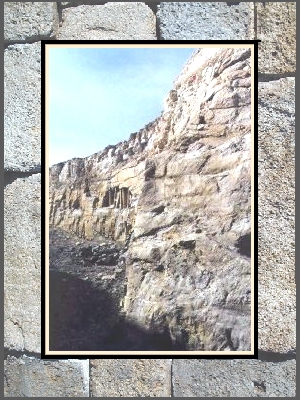
But Most Importantly, the Mysterious Rockwall!

The "Illustrious" History of Rockwall County


Rockwall County's notoriety comes from being the smallest county in Texas, covering only 147 square miles. But its strongest asset could be the possibility it is the site of the oldest civilized community in Texas, something geologist and archeologists have been trying to ascertain, and have been arguing about, since 1852.

This is the actual semi-subterranean wall for which Rockwall is named

Click HERE to Read What we Know about The Wall

NATIVE AMERICANS & THE FIRST ANGLOS

The Spaniards traversed the area of Rockwall County as early as the 16th century and Mexican explorers trekked through the area from as early as the 1700's. Some records show that a few Anglos traveled through the region of Rockwall County in the late 1800's. Most were venturing to "test the waters" and see what the area had to offer in the way of timber, flora, fauna, waterways and terrain for future settlement. They reported their findings back to the Texian Colonists in the south, but none stayed in what is now Rockwall County.

During the same time period the region of Rockwall County was occupied by Caddo Indians. The Creek Indians also migrated into the area and as the two tribes became larger they became enemies. The East Fork of the Trinity River offered many places of encampment for the natives - the land was rich in natural vegetation, had herds of buffalo and deer, and a variety of smaller game animals. It is also now known that Native American tribes from the area of New Mexico and west Texas ventured into this region as far back as 1500 years, as proof has been found in the way of artifacts.

In 1968 the Southern Methodist University Archaeology Department conducted a dig in the southern part of Rockwall County in the East Fork Trinity River flood plain. According to Rockwall County's Emeritus Archaeologist, Bill Young, a clay stirrup-spout bottle was found there about 1 meter under ground by archeologists, and it was typed as an Arboles Black-on-white vessel dating back to 950-1050 AD. Archaeologists Kathleen Gilmore and A.E.Dittert, Jr., determined the pot was brought here from the area of northwest New Mexico. Below is an illustration of that pot.

In 1998 a 3" long dart point was discovered by Kathey Kelley Hunt in the same approximate area of the dig, and upon examination it was dated by Archaeologist Bill Young to be at least 1500 years old. Its make up of a deep, red colored flint indicates it was brought here from the area of the Llano Estacado in far west Texas. In the year 2000 several arrow heads were also found by Hunt in the area, and they too are made from flint from areas of west Texas and New Mexico.

When the first Anglo-American trappers and traders arrived in the area in the early 1800's they were the first to report back to St. Louis and Nashville that Texas was a land of milk and honey, and that became the basis for the mass influx of settlers.

After the Texas revolution with Mexico in 1836 the area was established as part of the Nacogdoches District in the Republic of Texas, which brought north many of the settlers who had made their way into southern Texas in the 1820's. By 1840 people began migrating to the rich farmlands of the region from Tennessee, Arkansas, Missouri and Louisiana.

In the late 1830's the new citizens of the burgeoning Republic had many confrontations with the Native Americans. Sam Houston, the Texas Rangers and groups of residents found themselves defending their property and their lives against the Cherokees , Comanches and other Tribes. A fort was built to house the Surveyors and original pioneers to the region, situated just a mile south of the infamous Kickapoo Trace and within 30 miles of the Cherokee Lands.

How did the Fort make it possible for
Rockwall's earliest Pioneers to settle here?
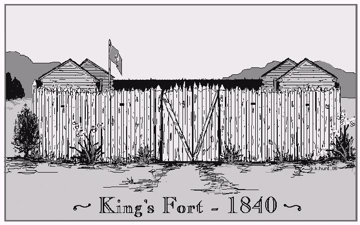
Indians - Murder - Exploration - Sam Houston & More !
Read all About it Here

The National Road of the Republic of Texas, or the Military Road, as it was called by most, was surveyed and constructed in the mid-1840s, and it lay through the area that would become Rockwall County. Running northeast from the Red River to near the site of present day Dallas, the cities of Rockwall and Heath were founded along this road.

STATEHOOD & SETTLERS


The State of Texas was admitted into the United States of America 29 Dec 1845. In 1846 the area of Rockwall County was included in Henderson County and when Kaufman County was formed in February 1848, the region was a part of that county.

Sterling Rex Barnes was the first person to settle in Rockwall County in 1846, according to Mercer's Colony documents. His land was situated between the East Fork and the Military Road. He constructed a ferry on the East Fork in 1848 obtained a permit from the State of Texas to build a bridge across the river.

Read About MERCER'S COLONY & the Texas Emprasario Colonies Here

Barnes was followed by other Mercer Colonists, including Ephraim and John Oswell Heath in 1846, who built their cabin near the site of Barnes' Bridge and they called the community Black Hill, named for the infamous black waxy soil of the area. Cary Cobb came soon afterward and planted the first orchard in the county, and James Kyser, who brought with him a hand-driven grist mill, made a prosperous living with the machine by saving settlers the long drive to Jefferson or Marshall to have their grain ground.

List of Mercer's Colonists in Rockwall County
In 1848 Benjamin F. Boydstun, Terry U. Wade and Jared Stephens arrived, all brought their families to the region to establish a farming community. Stephens, Boydstun and Wade were hoping to establish a trading post on the eastern shore of the East Fork, with the hopes it would bring them prosperity with river travel and that their settlement would eventually become a town that would offer them closer business dealings than having to travel to Kaufman or Dallas. Although friends, the three men were at odds among themselves, each declaring to be the first settler at the site and deserving to have the future town named for themselves.

In 1849 James Truitt settled two miles north of Rockwall and established a community called Locust Grove, and after living in a make-shift cabin for a few years, in 1851 Terry Utley Wade and his family began building a permanent house on the east side of the East Fork of the Trinity River valley near the western edge of the present site of the Rockwall square.

How Did The East Fork of the Trinity Influence Rockwall's History?
Find out HERE
In the process of digging the homestead water well, Mr. Wade hit a stone formation. Further digging and investigation discovered a "rock wall" below the surface. The wall ran an extended length across Wade's property and that of his neighbors.

Because of its man-made appearance the settlers believed an ancient civilization had built the wall. They decided that fact meant that none of them were actually the "first settler" of the area, and instead of calling their new settlement after themselves they named it for the rock wall, resolving their differences. On April 17, 1854, Elijah Elgin donated forty acres of his land to establish a town at the site, centrally located in the "panhandle" of Kaufman County. This community became known as Rock Wall, now Rockwall.

The first post office in the area was known as Black Hill and offered the residents of the region a chance to get mail without traveling twenty plus miles to Kaufman. The post office was transferred to the new town of Rockwall in 1855. During the early years, Rockwall consisted of little more than a post office, blacksmith, grinding mill, church, a general mercantile and a Masonic Lodge.

History of the The East Trinity Lodge #157 AF & AM

A blank Texas Association Land Certificate like the one many Rockwall Pioneers
received when they acquired their land in the Republic of Texas

Return to Rockwall County Website

This site is part of the TXGenWeb project and maintained by Jeff Lowe.
Content of this site has been gathered from many sources and transcribed records. Therefore, errors may occur. When in doubt as to the accuracy of data contained herein, go to the actual records yourself.  If you find any inaccurate data, please let me know.  The information contained in this website is for your personal use only.  All pages, compilations, transcriptions and abstracts are protected by copyright law and may not be published in whole or in part without written consent of the author, contributor and/or webmaster.

© Copyright 1996-2023 Rockwall County Coordinators for the TXGenWeb Project, All rights reserved. Contents my be used with electronic or written permission only.