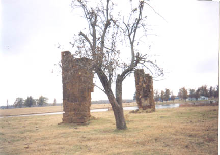
Edmondson
Cemetery

"Edmondson","Cemetery","15
Jun 1875","Edmondson","This cemetery is located
in the northwest quadrant of Red River County, Texas. GPS COORDINATES:
Datum WGS84: 33 Deg 49.155N, 95 Deg 15.023W. This appears to
be on the old Isaac Moore Survey. From Woodland proceed east
on FM 195 a little over 2 miles to the intersection with CR 2242.
Take FM 2242 north for .6 miles and turn left onto a private
road leading to the Cecil Farris residence. Just as you reach
a culvert and a lake on the right, about .3 miles, turn right
into the pasture and past the old ruins of the Edwards Farm home.
Continue northwesterly for a short 1/4 mile and following the
north bank of the lake, look for signs along the edge of trees
having fallen. The markers are just at waters edge or just above.
The oldest dated marker is that of an unknown burial. This is
an old vault type burial and the top is in horrible condition
due to both time and cattle. We were on the site with Johnie
Lee for over an hour and some probing was done as well as use
of the divining wires. More burials were found but, of coarse,
no markers. This cemetery was recorded on 3 Dec 2003 and GPS
coordinates were taken on this date."
|

