|
 
Siloam
B Cemetery
Siloam B Cemetery, 4
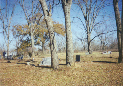
Jan 1934,"This cemetery is located in the northwest quadrant
of Red River County, Texas. GPS COORDINATES: Datum WGS84: 33
Deg 53.987N, 95 Deg 08.736W. The Siloam black cemetery is northwest
of Clarksville. From Manchester proceed north easterly for about
two miles on FM 195 to the intersection with CR 2353. At the
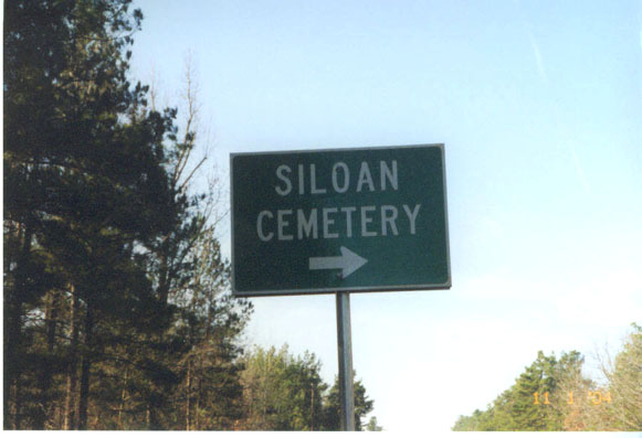
sign, turn onto a sandy road and go about three miles north to
the intersection with CR 2382. The cemetery is behind the Siloam
church on the right. A deed dated 24 Mar 1911 and filed for record
on 29 Jun 1911 in Book CH Vol 71 Page 628 conveyed 7.2 acres
of A. S. Johnston survey from J. H. Johnston to Siloam Baptist
Church. Another deed dated 15 Aug 1925 and filed for record on
15 Aug 1925 in Book CH Vol 114 Page 336 conveyed 2 acres of the
A. S. Johnston survey from Siloam Baptist Church to Siloam School.
A third deed dated 24 May 1965 and filed for record on 27 May
1965 in Book CH Vol 240 Page 614 conveyed 2 acres of the A. S.
Johnston survey from RRCo TX School Board to Siloam Baptist Church.
The oldest marked grave is that of Susan Woods who died on 4
Jan 1934. This cemetery was surveyed by Lawrence and Sue Dale
on 23 Jan 2000. We visited the site again on 6 Dec 2003 and took
the GPS readings. We also did a re walk of the cemetery adding
new burials and noting marker changes."
|

